


Navigation
The incredible way to navigate your flight.
Navigation
Navigation is the feature we are exceptionally proud of.
All you need to do is click ‘Start Tracking’ and BalloonRadar will provide you with all data you need: current speed (in different units), flight direction, current altitude (different units, time passed since the take off, distance from the starting place. Moreover, it draws a line on the map that reflects the path of your fligh, and shows where you are going (including, for instance, the estimated time until your selected objective.
f.ex. first landing place Everything on Google Maps with auto focus or manual focus and satelite/map view
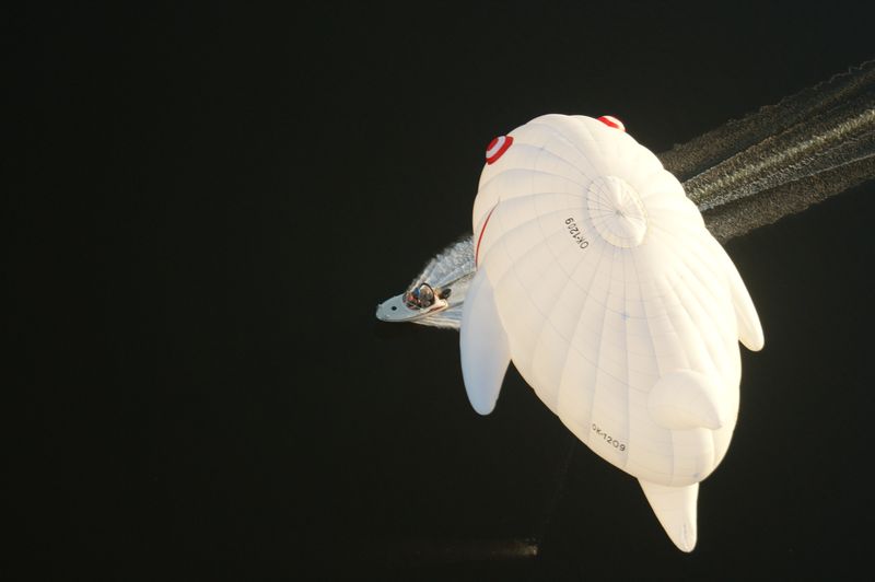
Sunrise/Sunset
Wherever you fly, BalloonRadar will always notify you of Sunrise and Sunset in your area.
Sunrise / Sunset
Simply use a small button on top of your screen called "SUN". After activating, in your flight params you will find the time of sunrise and sunset in your location.
Green line
Green line is a feature that makes our app unique for balloon pilots.
Green line
Green line is a feature which makes our app unique for balloon pilots. The line shows your current direction, while its length indicates your predicted location after 30 minutes. Isn’t it marvelous?
Your point on map
Select your objective on the map
Choose any point on the map and make it your target by holding your finger on it for 1 second.
Your point on the map
In other words, your crew will know where and when you will most likely land, and so will you! Hold your finger at a chosen spot on the map and BalloonRadar will immediately calculate the needed time to reach that location, based on your flight speed. Moreover, it will automatically share that point and information with your chase crew.
AutoZoom mode
It doesn’t matter how large the screen of your device is. Enable AutoZoon mode and the map on your screen will adjust itself, covering the whole path of your flight.
AutoZoom mode
It doesn’t matter how big the screen of your device is. Enable AutoZoom, and the map will cover your whole flight, according to your current speed. Slow down and your map will become larger and more detailed. Get more wind - it will get smaller and cover more area.
Tracking trace
Each of your flights will be saved. You can always share it with your friends or delete it. Regardless of what you decide to do with it, a copy will always be saved on your cloud account, should you decide you’d like it back.
Tracking trace
Each of your flights will be saved. You can always share it with friends or delete it. Regardless of what you decide to do with it, a copy will always be saved on your cloud account, should you decide you’d like it back. Your saved flight data will include: 1. Your route, 2. Max altitude, 3. Max speed, 4. Distance, 5. Time of take off and landing.
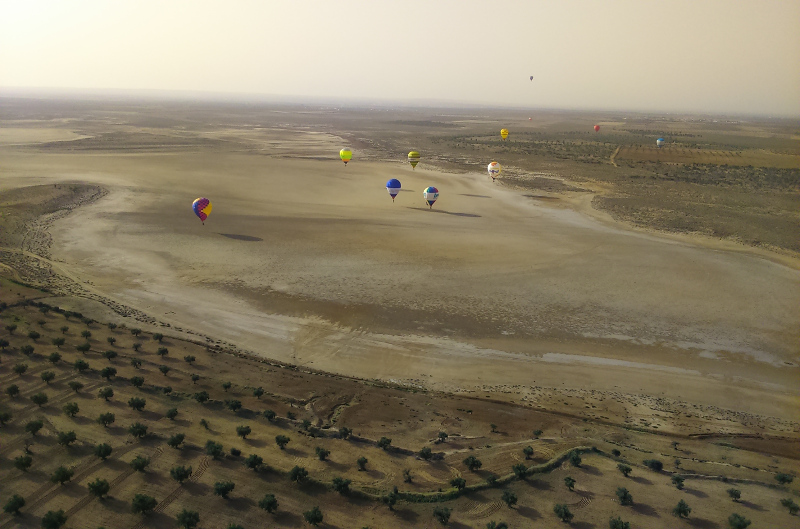
Follow other balloons currently in the air
Too busy to fly? Want to Follow other balloons currently in the air
see where your friends are flying? It’s possible with BalloonRadar.
Follow other balloons currently in the air
Too busy to fly? Want to Follow other balloons currently in the air
see where your friends are flying? It’s possible with BalloonRadar.
Chasing crew
Each user can be connected to up to 2 different devices for the chasing crew.
Chasing crew
Each user can be connected up to 2 different devices for the chasing crew. They will see where their balloon is, all flight data, current speed, direction and green line. Pilot can also give them expected point of landing.


© 2017 by BalloonRadar